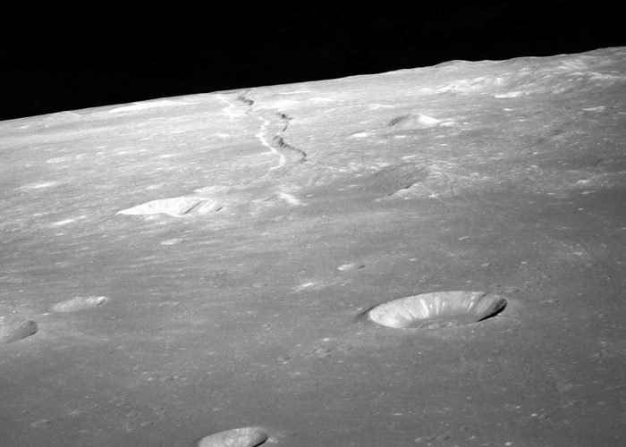
A NEW technique for detecting planetary craters which will allow scientists to accurately map the surfaces of planets using different types of data has been described as a “game-changer” which could be used in future space missions.
A team of researchers from the University of Aberdeen has developed a new universal crater detection algorithm (CDA) using Meta AI’s Segment Anything Model (SAM).
SAM, released last month, is a new artificial intelligence model that can automatically ‘cut out’ any object in any image.
The technology has enabled the team to automatically map craters instead of doing so manually – a time-consuming process. At the same time, the use of different types of data allows for more accurate and flexible surface characterisation.
The CDA approach can work with different data and celestial bodies, giving it the potential to be a universal solution for crater detection in various planetary surfaces.
It could also help identify possible landing sites for robotic or human missions, and potentially be used for automatic navigation based on terrain observations.
Dr Iraklis Giannakis, from the University’s School of Geosciences, led the research in collaboration with colleagues from the University. A preprint of the results has been published in arXiv.
Dr Giannakis said: “Crater detection is a crucial task in planetary science enabling us to better understand the geology, history, and evolution of celestial bodies such as Mars, the Moon, and other planets.
“Our universal CDA approach leverages the power of SAM to automatically detect craters with high accuracy and efficiency, reducing the need for manual identification.
“With its advanced segmentation capabilities, SAM has proven to be a game-changer for CDA, allowing us to accurately identify craters of various sizes, shapes, and orientations – even in challenging terrain conditions.”
Dr Giannakis said the development of the CDA has created new possibilities for planetary science as well as for future exploration missions.
By automatically mapping craters scientists can study their distribution, size, and morphology to better understand the planetary surface and its evolution over time. This can help in uncovering the geological history, surface processes, and potential habitability of a planet or moon.
“Craters can also be potential sources of valuable resources, such as water ice on planetary bodies like the Moon or Mars. By automatically mapping craters, scientists can identify potential locations where resources may be concentrated, which can be important for future human missions and for planning resource utilisation strategies in space exploration scenarios.”