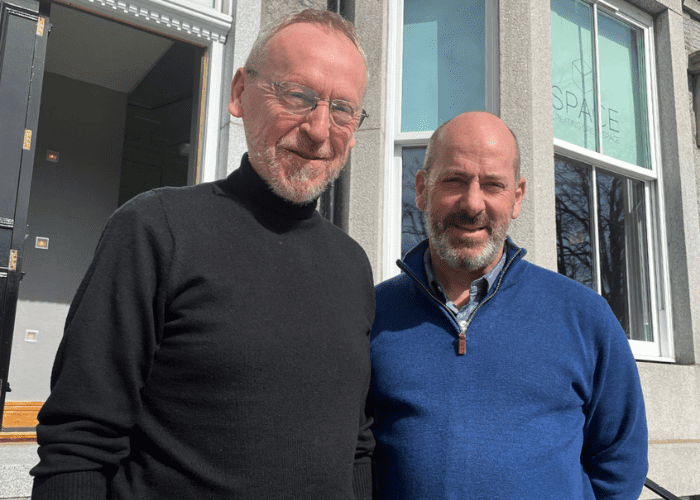
CIVTECH alumni company EOLAS Insight Ltd is taking the lead in a project that uses its technology to help conservationists count African elephants from space.
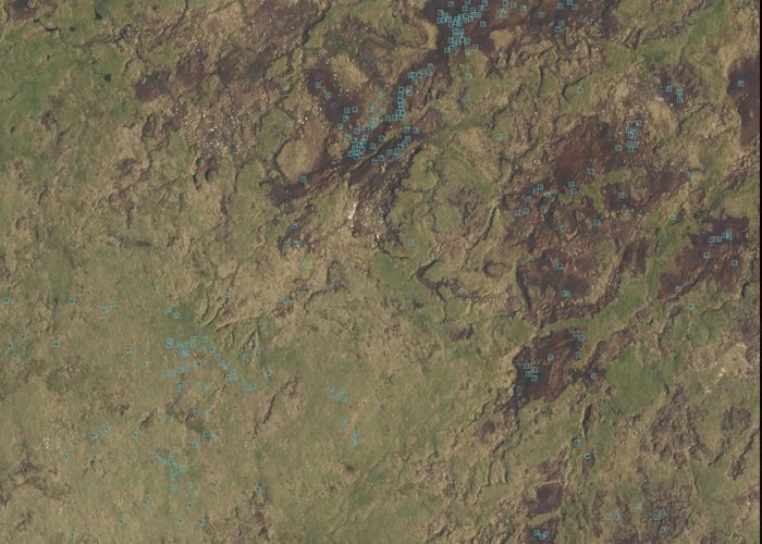
The ambitious firm is working with partner, Peace Parks Foundation, and received funding from the European Space Agency to conduct animal censuses, using satellites. Glasgow-based EOLAS Insight Ltd will use artificial intelligence and high-resolution satellite imagery to detect elephants roaming across vast areas of a national park in Southern Mozambique.
Working with EOLAS is neighbouring Glasgow tech start-up Omanos Analytics, a business which uses downstream satellite data analysis and on-the-ground intelligence to improve transparency and reduce risk around the social and environmental impacts of critical infrastructure projects.
The work of EOLAS Insight Ltd is based on previous projects the firm conducted with NatureScot as part of the CivTech Accelerator Programme in 2020, which used similar techniques to monitor Scotland’s wild red deer. This project combined imagery collected by satellite and light aircraft to detect the animals. It is hoped that in future it will offer a greener and cheaper alternative to helicopter-based counts.
This innovative approach could vastly improve the monitoring of threatened elephant populations across a wide range of habitats. The data EOLAS helps to collect is also used to classify the animals’ habitats and identify potential risks such as the likelihood of wildfires. As the technique does not depend on people on the ground, it can be used in remote areas, supporting efforts such as counter-poaching.
Doug McNeil, EOLAS Managing Director, said: “Technology can play a key role in tackling what is arguably the biggest challenge facing humankind – conservation and the climate crisis. Detecting animals in satellite imagery will have its place in preservation projects of the future, and we are incredibly excited to be the first UK company to demonstrate this capability.”
“It was through the CivTech accelerator experience that we were able to refine this process by working closely with NatureScot to develop the use of satellite imagery to track animals. It’s exciting for us to continue to develop this on a larger scale and work in new markets with proven technology. In the future through work with the Geovation programme run by Registers of Scotland and Ordinance Survey, we will create a web-based platform for allowing the user direct access to our methodology algorithms.”
“There are so many hugely powerful new technologies available for environmental professionals and ecologists, however accessing these technologies can be a job in itself. At EOLAS we want to take the complexity out of technology and provide invaluable information to our customers. Our hope is that we can help them in some small way in their hugely important and timely work.”